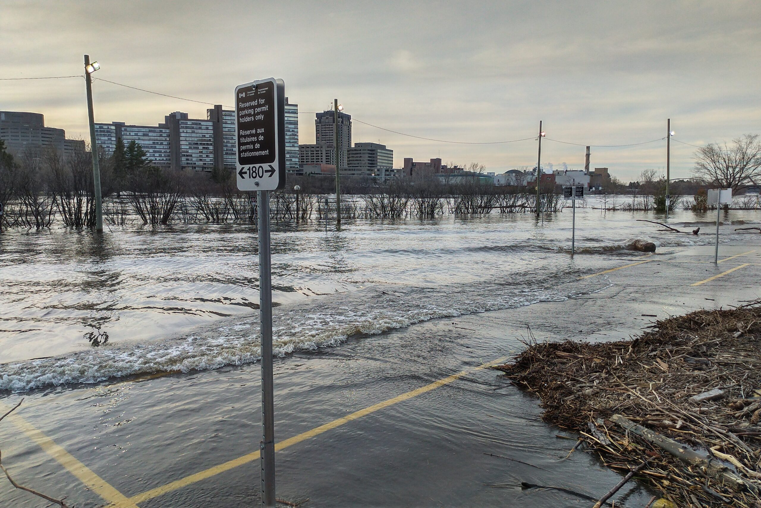
Communities across Ontario watching for or actively grappling with flood conditions reported cautious progress on Tuesday even as they braced for a fresh wave of precipitation this week.
A weather advisory covering Ottawa forecast a mix of ice, snow and rain for Wednesday, which local officials warned would likely further swell local waterways that have been breaching their banks for the past week.
A brief lull provided by Mother Nature, however, allowed water levels to subside slightly in several of the hardest-hit communities, providing a slight buffer ahead of the fresh rainfall.
However, city officials urged several hundred residents along Bayview Drive in Constance Bay to evacuate. The water on the road was making it unsafe for vehicles, prompting the city to shut it down on Tuesday evening. And, with the risk of water reaching electrical meters near homes, power was also due to be turned off – affecting some homes in areas that had not been flooded.
Elsewhere, residents on Churchill Avenue North in Westboro were being asked to refrain from using showers, flushing toilets and using dishwashers and washing machines to reduce the risk of basement flooding caused by an already stressed sanitary sewer system.
Closer to downtown, the Chaudière Crossing and large portions of the pathway below Parliament Hill remain closed.

– With reporting by the Canadian Press


